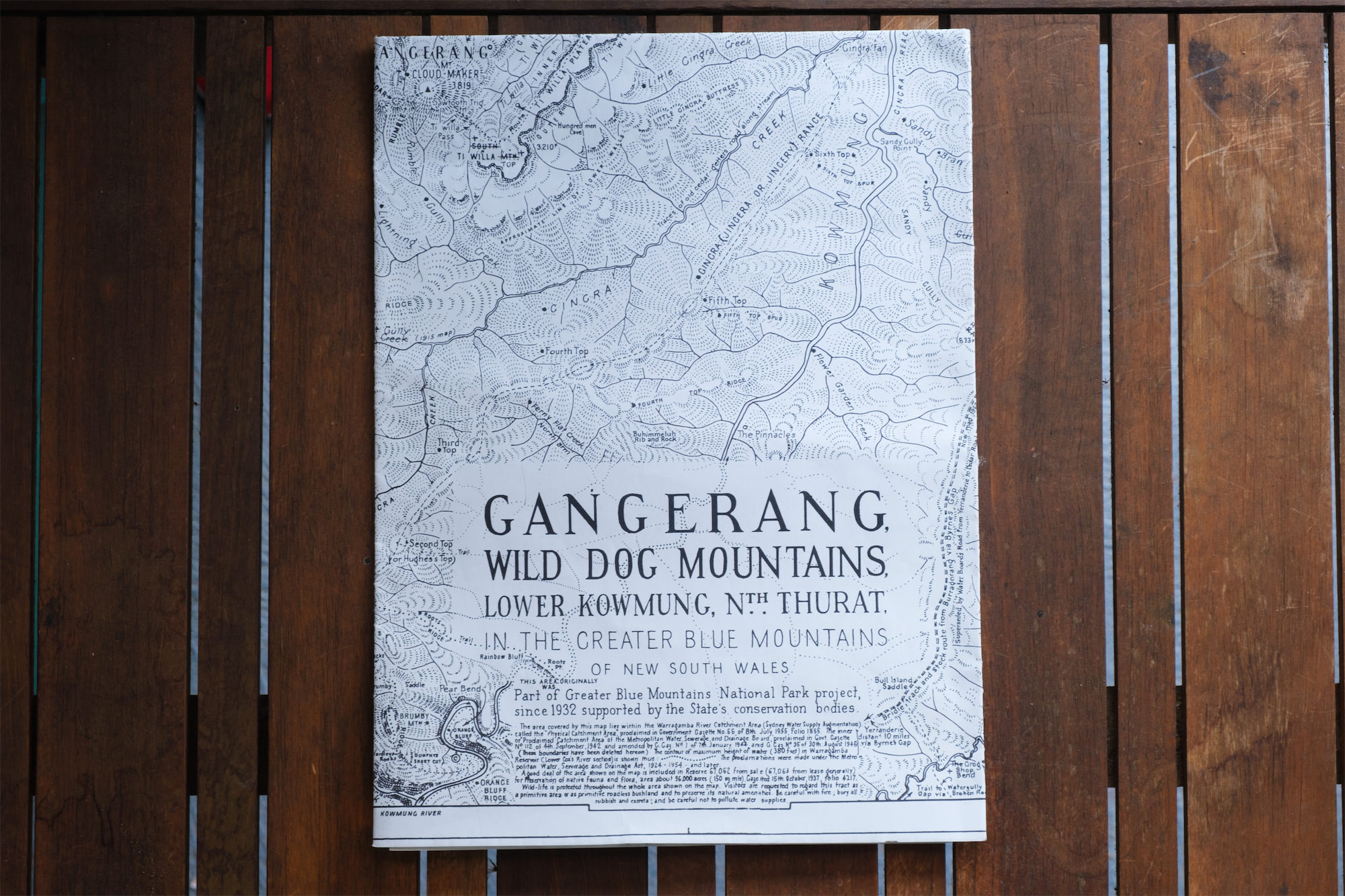
Myles Dunphy's topographic map covers the Greater Blue Mountains of N.S.W.. It is a hand drawn map by Dunphy that includes notes on topography, nomenclature and for walkers using the area. The area covered by this map lies within the Warragamba River Catchment Area. This historic map with scale 2 inches to each 1 mile (5cm: 1.6K) is still a wonderful, relevent resource for those exploring this World Heritage Area.
$10.00
Author(s):Myles Dunphy
ISBN:
Pages: pp
Format: Map
Envirobook is an independent Australian publishing house specialising in natural science, travel, Aboriginal and Australiana. We also distribute for most Australian publishers to non-book trade accounts, e.g. national parks, outdoor shops, art galleries, etc.